

Zoom Earth is a premier interactive weather map application that provides real-time tracking of hurricanes, storms, and severe weather conditions. The app offers near real-time satellite imagery updated every 10 to 15 minutes, allowing users to monitor wildfires, smoke, and weather patterns as they develop.
In addition to its advanced satellite imagery, Zoom Earth features comprehensive weather forecast maps. These include precipitation, wind speed, temperature, and atmospheric pressure forecasts. Users can customize their experience by adjusting units of measurement and exploring various visual overlays, making it an invaluable tool for both casual weather watchers and professionals in the field.
One of the standout features of Zoom Earth is its ability to display high-definition satellite images from NASA's polar-orbiting satellites twice daily. This complements the live updates from geostationary satellites like NOAA GOES and JMA Himawari, ensuring users have access to the most current and detailed weather data available.
The app also includes a rain radar and nowcast system, providing instant short-term weather forecasts based on ground-based Doppler radar. With stunning visualizations powered by DWD ICON and NOAA/NCEP/NWS GFS models, users can explore various weather parameters such as wind gusts, 'feels like' temperatures, and dew points. Additionally, the hurricane and wildfire tracking systems offer clear, easy-to-understand information crucial for safety and planning.
Customization options abound within Zoom Earth, allowing users to tailor their interface with different animation styles, temperature units, and time zones. For those seeking more advanced features, Zoom Earth Pro offers additional functionalities through auto-renewable subscriptions, enhancing the overall user experience while providing critical tools for monitoring global weather phenomena.
Forecast accuracy and data credibility are crucial for any weather application, and Zoom Earth excels in these areas. The app provides continually updated weather forecast maps using the latest model data from reputable sources like DWD ICON and NOAA/NCEP/NWS GFS.
Users can explore various forecast maps including precipitation, wind speed, temperature, and atmospheric pressure. These maps offer detailed insights into upcoming weather patterns, ensuring users have reliable information at their fingertips.
The satellite imagery on Zoom Earth is updated in near real-time, with a delay between 20 to 40 minutes, providing an accurate depiction of current weather conditions. This timely update ensures that users are always viewing the most recent data available.
By leveraging high-definition images from NASA polar-orbiting satellites and geostationary satellites, Zoom Earth guarantees that its weather forecasts and satellite imagery are both accurate and credible, enhancing user trust and satisfaction.
Zoom Earth offers extensive temporal and spatial forecast ranges, allowing users to plan effectively for upcoming weather changes. The app's forecast maps cover a wide array of meteorological data, including rain, snow, wind, and temperature, across different geographical locations.
With features like the Precipitation Forecast and Wind Speed Forecast, users can anticipate weather conditions over both short-term and extended periods. This flexibility helps in making informed decisions whether for daily activities or long-term planning.
In addition to surface-level forecasts, Zoom Earth provides advanced data such as 'Feels Like' temperature and wet bulb temperatures, which are essential for understanding human comfort levels and health risks associated with extreme weather.
The comprehensive coverage of global weather patterns, combined with high-definition satellite imagery, ensures that Zoom Earth delivers precise forecasts across various timescales and geographic regions, empowering users with actionable weather intelligence.
Real-time weather updates
High-definition satellite images
Interactive map overlays
Comprehensive forecasting tools
User-friendly customization
Premium features require subscription
Occasional data delays
Limited offline functionality
Interface may overwhelm beginners
Higher data usage


Weather related custom complications for Wear OS. UV, Hi-Lo, AQI and more!
 4.40
4.40
Personal Weather Station PRO - Meteo monitor to check your WU info and charts.
4.20
Retro TV-style digital watch face with weather, heart rate, steps & events!
4.1
Get instant weather & temperature predictions right on your Wear OS smartwatch!
4.1
Room Temperature Thermometer meter shows indoor, outdoor temperature, humidity.
4.40
Detailed weather info and moon phase, subtle animation, customizable
4.5
Download now and give your smartwatch a fresh, premium look!
4.20
My Aurora Forecast Pro is the app for the Northern Lights and Aurora Borealis.
4.70
Stay Ahead Of Changing Weather Conditions
4.00
Weather radar, satellite, wind, waves, ocean and hurricane forecasts.
4.70
Super-res, real-time weather radar. Be prepared for extreme weather.
4.50
Accurate Weather App: various widgets, real-time storm radar, hurricane tracker.
4.50
Global weather forecast, powered by layered radar & hourly weather updates
4.10
Weather watch face for Wear OS 5+
4.10
Your Reliable Weather Companion
4.10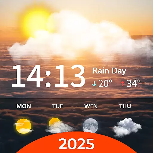
Your Personal Weather Assistant
4.00
3D Animation Weather Icon
4.00
Storm Radar, Alerts & Live Weather Forecasts Right on Your Home Screen
3.70
Advanced weather toolkit, providing detailed weather information for any season!
3.50


User Reviews